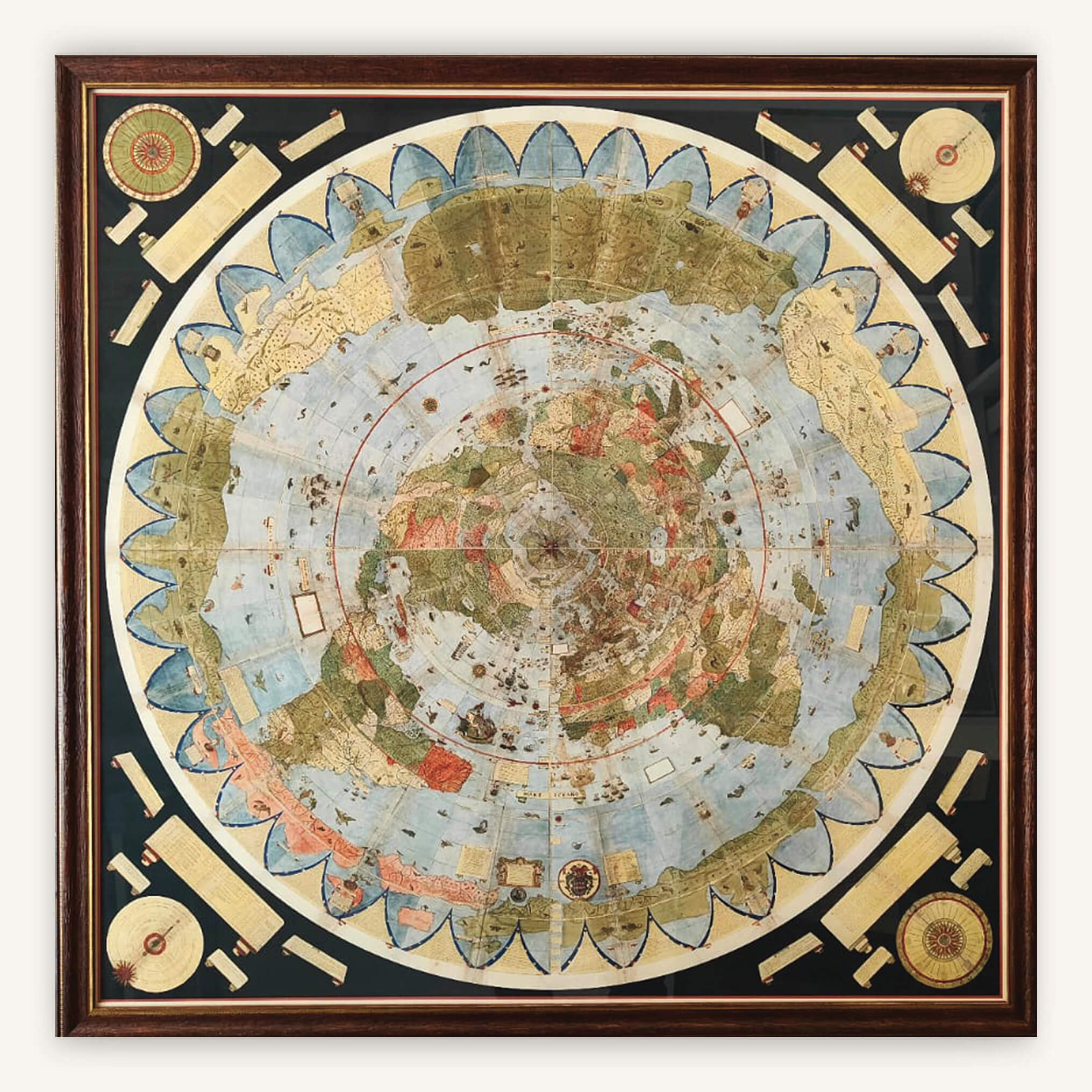
Antique Map - Urbano Monte Planisphere 1587 - Art Paper (SOLD UNFRAMED) - 100 x 100 cm
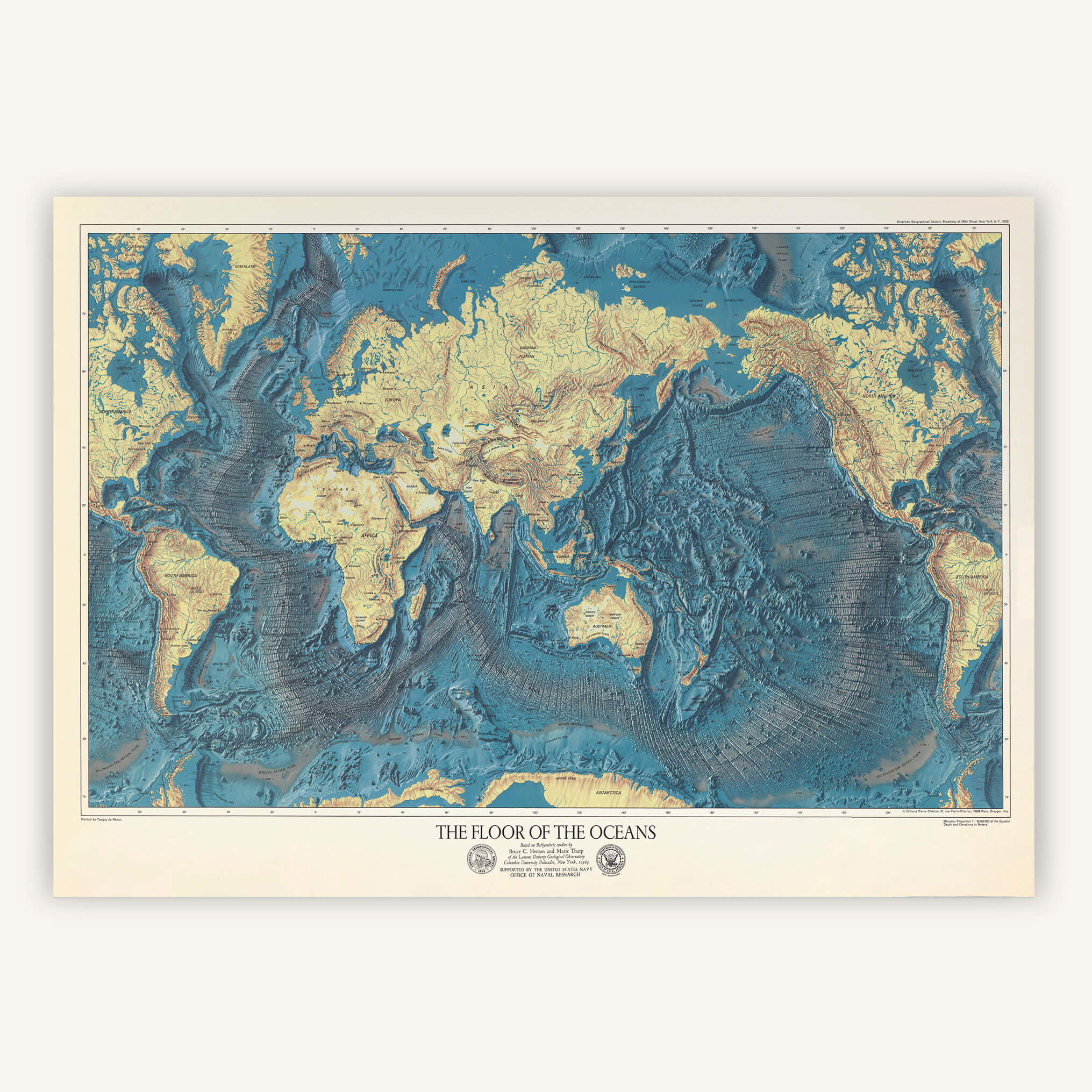
Vintage map - World map "The Floor of the oceans" 1976
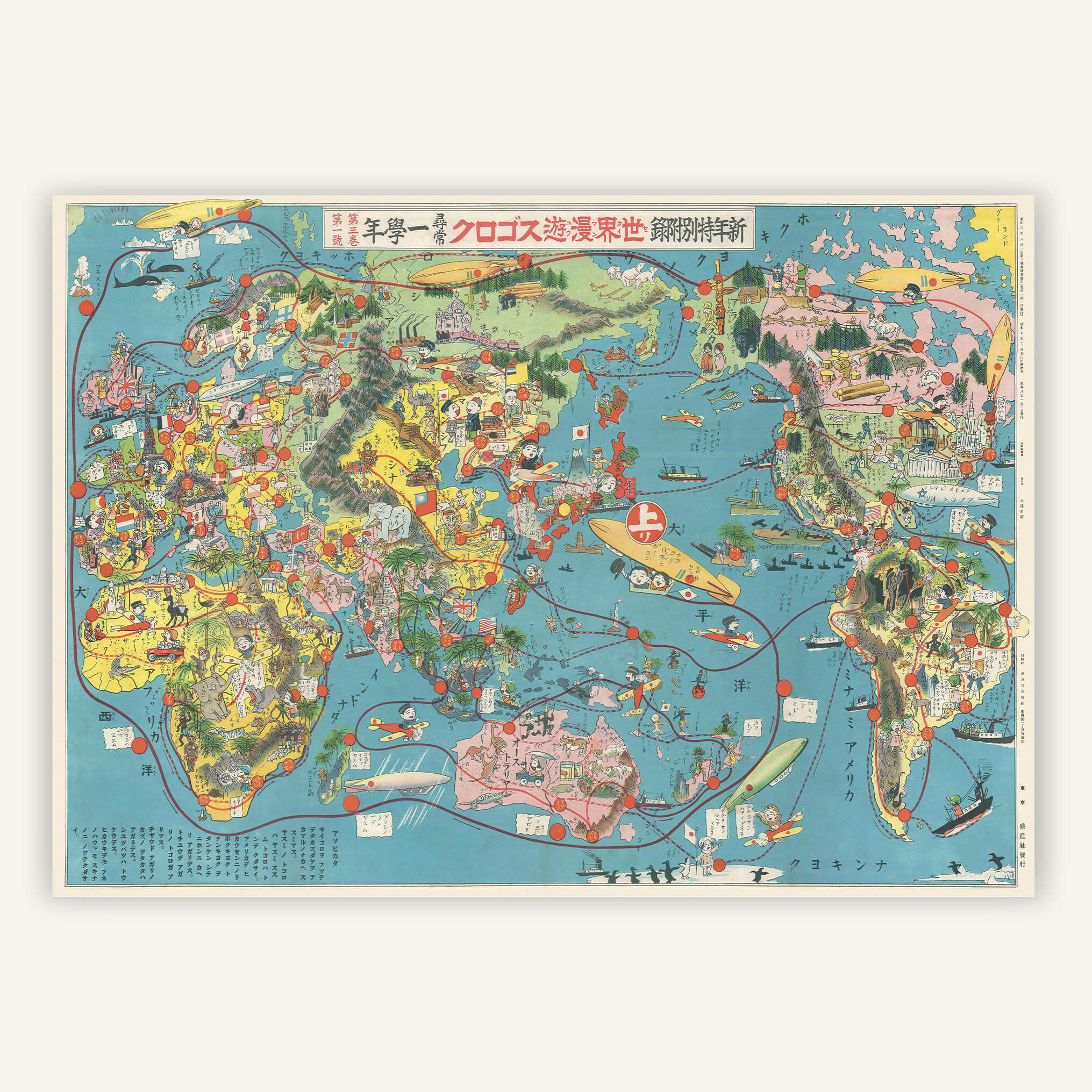
Antique map - Illustrated atlas centered on Japan 1930
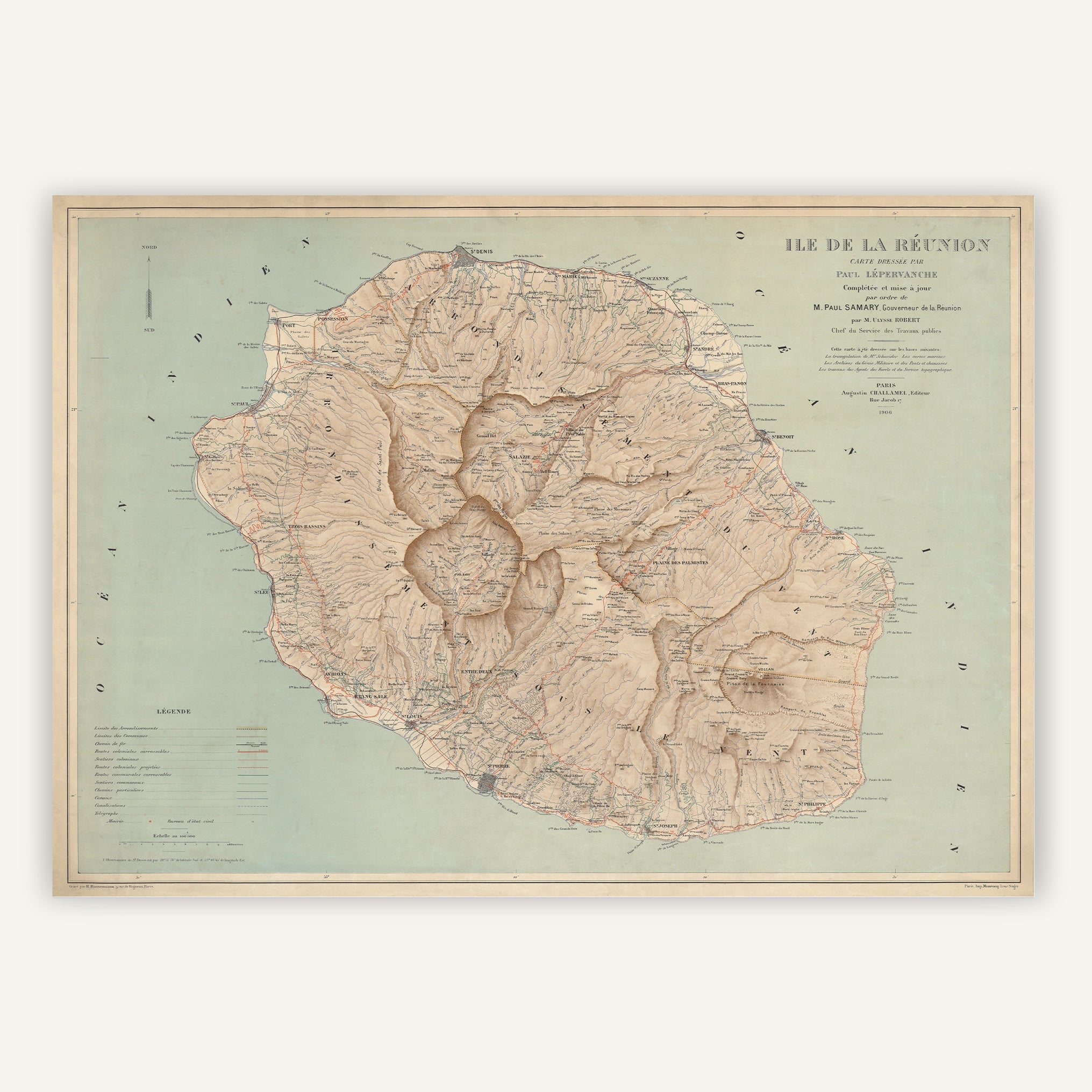
Antique map - Isle of Réunion 1906
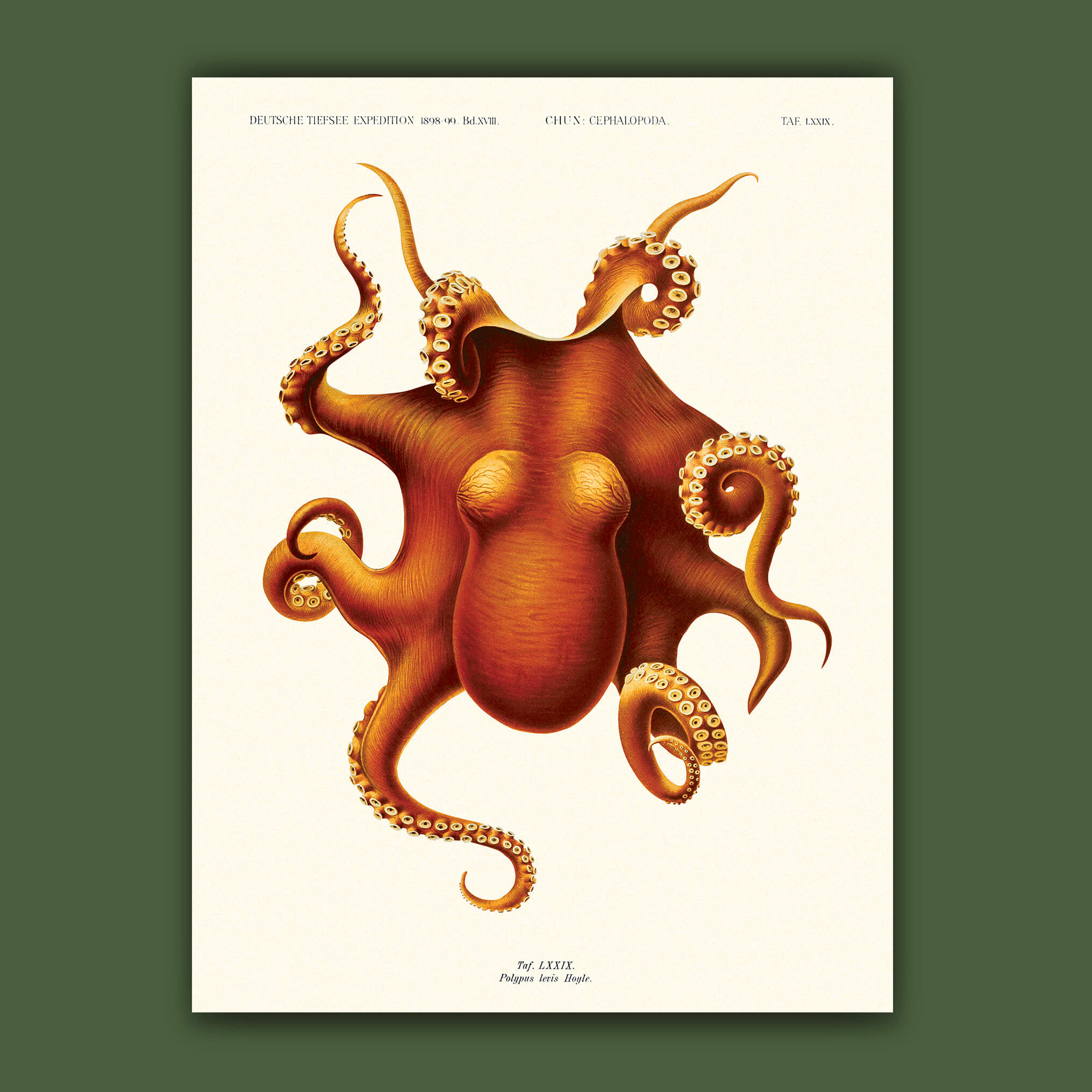
Poster - Cephalopod, Carl Chun
Poster - Butterfly Chart No. 72, Hippolyte Lucas
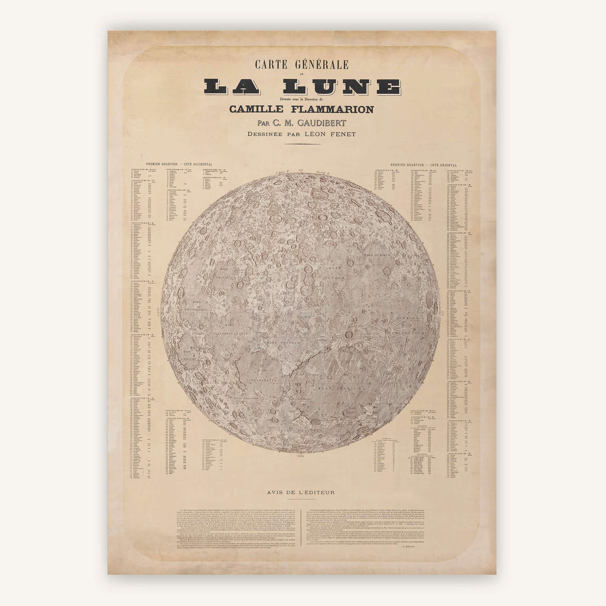
Antique map - Moon 1887
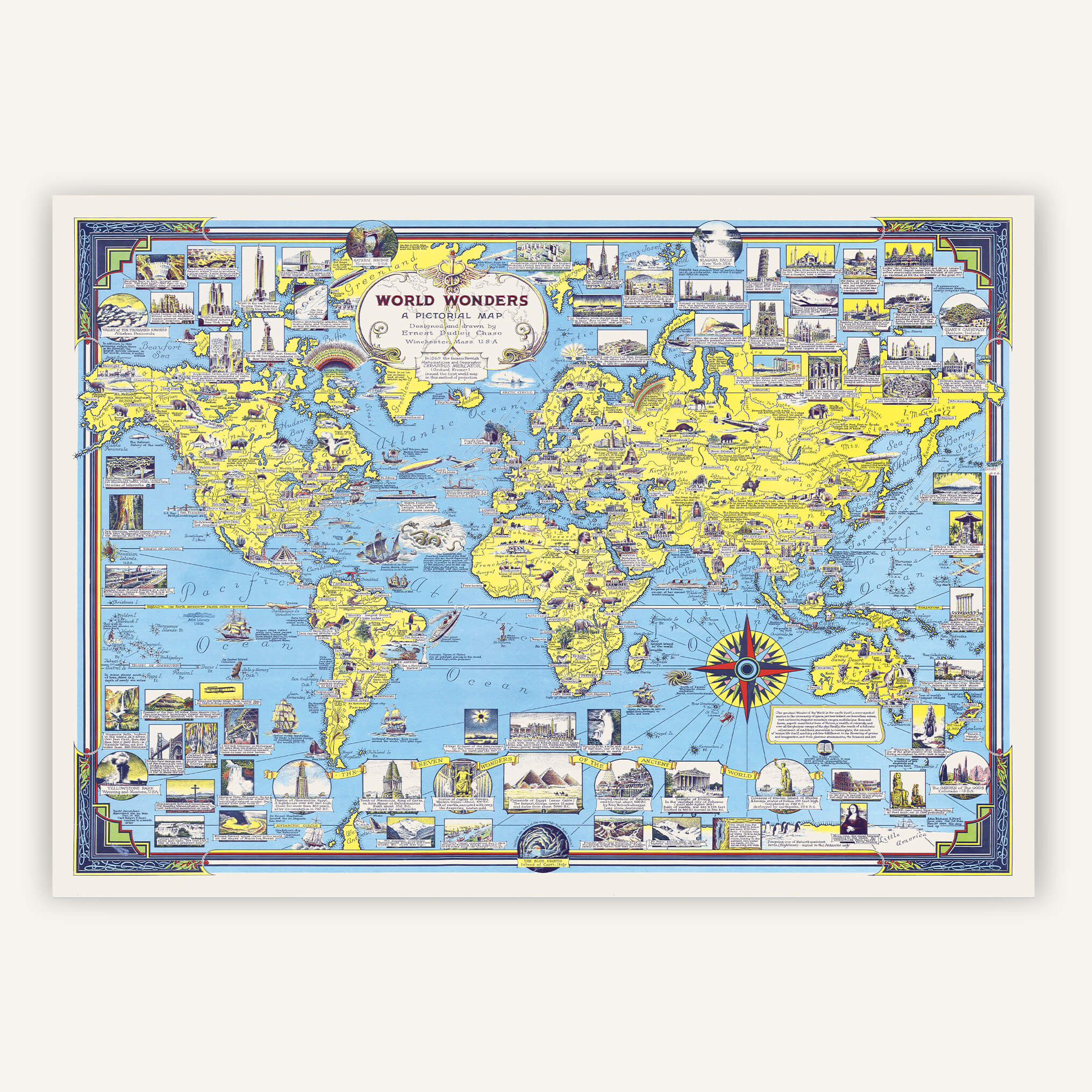
Antique map - Wonders of the World Planisphere 1939
The first geometrically surveyed map of France, the Cassini map, is being honored at the Archives Nationales. Its history, and how to find your town on it.
Which map to give to a traveler, a history buff, or your loved ones? Our gift ideas, and how long in advance to order before Christmas.
The UN has adopted a resolution to put an end to Mercator. Three ways of representing the world, compared.
This 1930s Japanese world map is actually a propaganda board game!
The Tabula Rogeriana is a world map created in 1154 by the Arab geographer Al-Idrisi for King Roger II of Sicily.
Created in Milan in 1587, Urbano Monte's planisphere is a hand-drawn map composed of 60 sheets assembled into a disc measuring over 3 meters in diameter!