

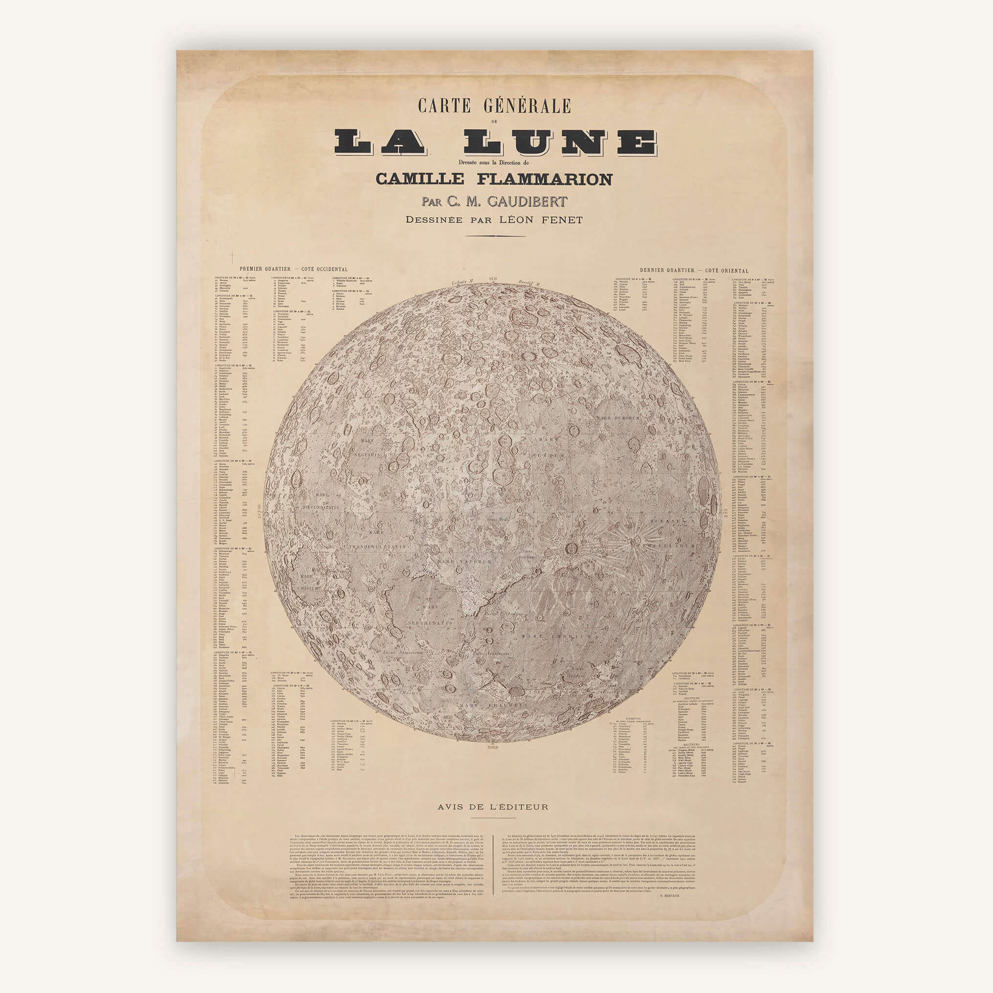
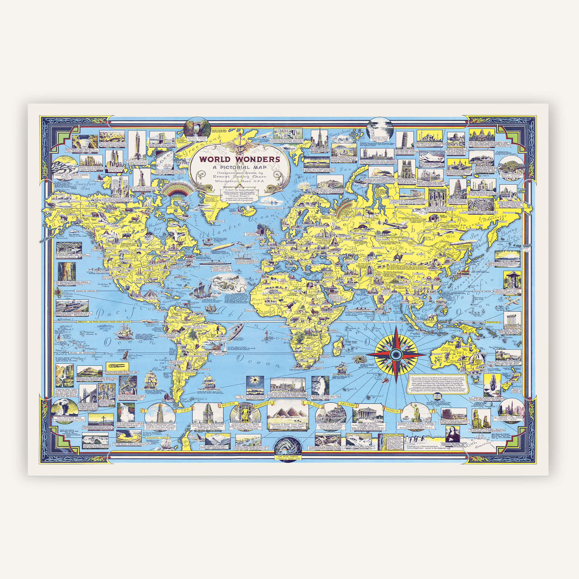
School cards on canvas

Relive the nostalgia of classrooms with our school maps on cotton canvas.

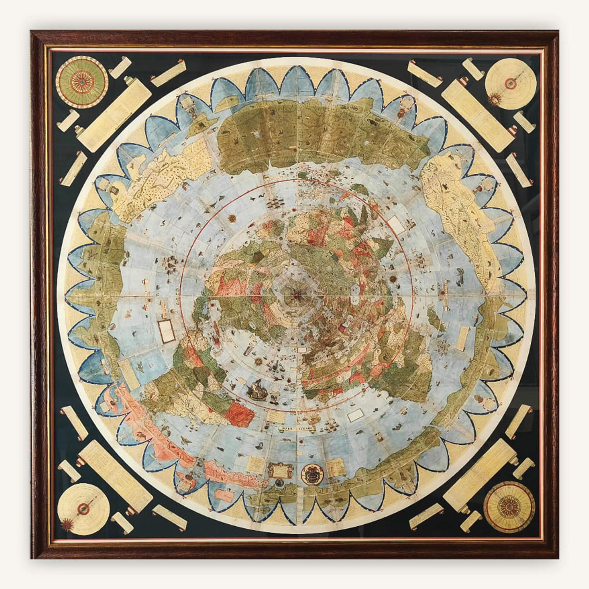
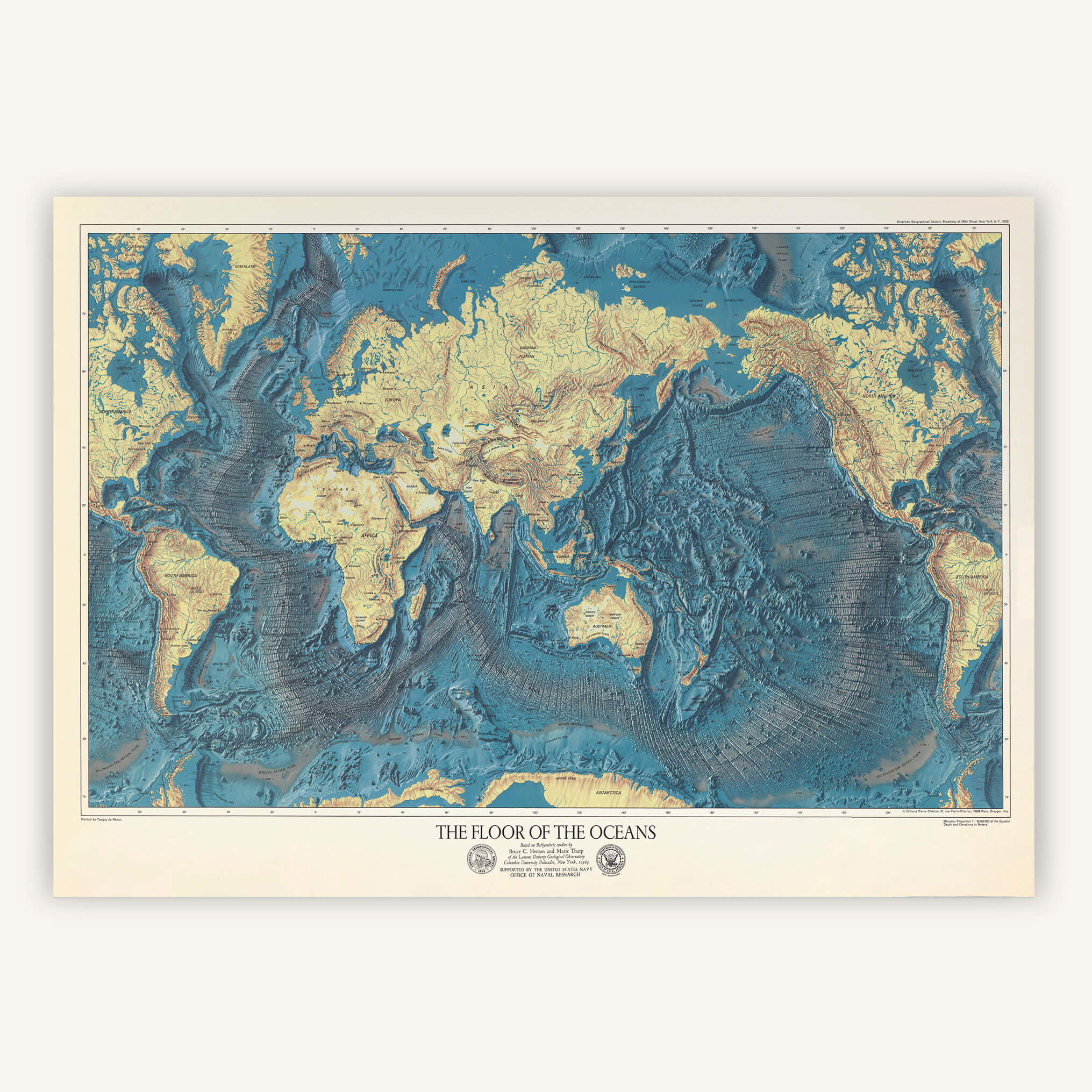
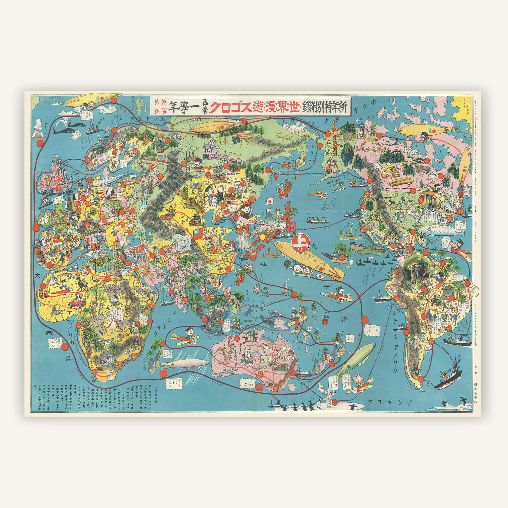
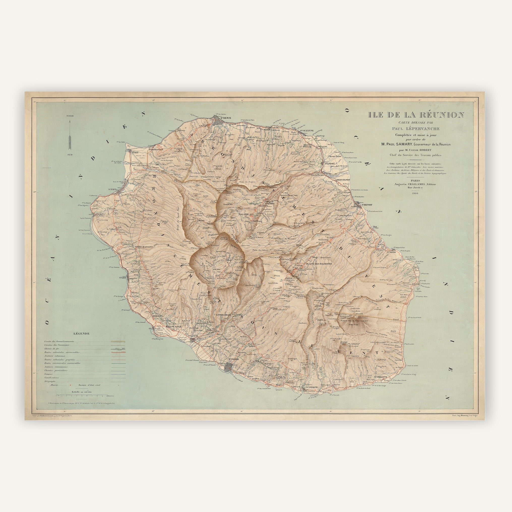
Reissues of the wall maps that adorned French schools: map of the French departments, map of Europe, hemispherical globe.

Faithful reissues printed on canvas with eyelets (for easy hanging) in our workshop in Bordeaux.

School Card - Globe
From 60,00€
School Map - Physical World Map: Land Relief, Watercourses, Navigation Channels
From 60,00€
School Map - Planisphere of the French Colonies No. 22
From 60,00€
Carte scolaire - Europe - Cartopolo
School Map - Europe
From 60,00€
School map - Europe, landforms no. 12
From 60,00€
School Map - Physical Europe: Land Relief, Watercourses, Navigation Canals
From 60,00€
School Map - Physical France: Land Relief, Watercourses, Navigation Canals
From 60,00€
School Card - France Agriculture
From 60,00€
School Map - French Provinces
From 60,00€
School map - France departments No. 4
From 60,00€
School map - French cities No. 5
From 60,00€
School map - France waterways no. 6
From 60,00€
Carte scolaire - Pays de la Loire - Cartopolo
School map - Pays de la Loire
From 60,00€
School Map - Aquitaine Basin and Pyrenees
From 60,00€
School map - Massif Central
From 60,00€

1 review
School map - Armorican Massif and its margins
60,00€
School Map - Brittany and Vendée - Economy
60,00€
School Map - Brittany and Vendée - Cities
60,00€

1 review
×
.header-wrapper { padding-top: 10px; padding-bottom: 10px; } } /* ============================= MENU DE NAVIGATION & ICONES ============================= */ /* Taille des liens de navigation */ .site-header__menu-item { font-size: 16px; padding: 10px 15px; } /* Réduction progressive sur tablettes */ @media screen and (max-width: 1024px) { .site-header__menu-item { font-size: 14px; padding: 8px 12px; } } /* Réduction sur mobile */ @media screen and (max-width: 768px) { .site-header__menu-item { font-size: 12px; padding: 6px 10px; } }